Updating Maps using Global Positioning Systems (GPS) - Example: Updating Road Network Maps of El Arish City
 |
During several urban planning exercises carried out in a city the planners encountered the problem that recent accurate maps were simply not available. The planners used the GPS system in order to update older maps by adding new features that have resulted from the urban expansion and development of the city. For example, the urban road network had not been updated for many years. The maps were completely out of date. The GPS was used to record the road network. After processing the GPS data the accuracy of the data could be bought down to 2-3 meters. The newly derived road network information was then added as a new layer to the existing maps in the GIS system (compare map 1). |
 |
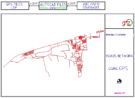
Map 1: Road network map of El Arish city
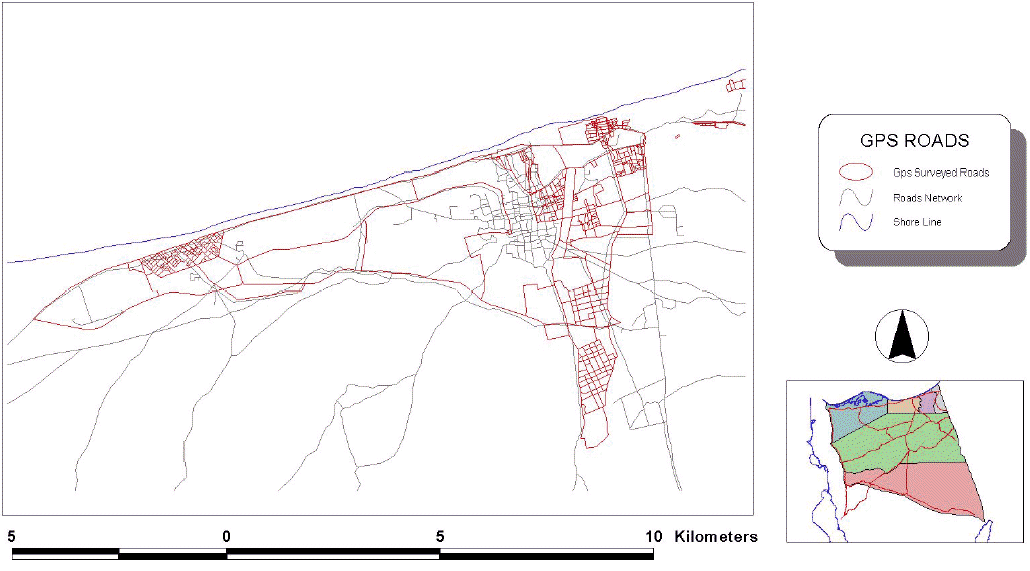
The second step in the process was to overlay the GPS data with digital maps in order to generate an overall updated road network map (compare map 2) Map 2: Surveying roads network city using GPS
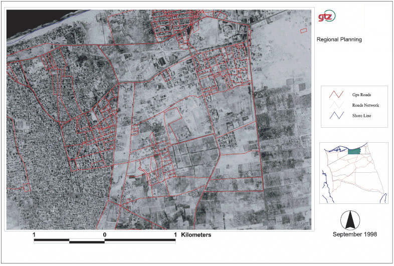
Finally, another step was undertaken namely of overlaying the previous 2 sets of layers with a satellite image of the area. The resulting image provided an excellent overview of the complete road network and the existing land use in the area being surveyed (compare map 3).
|